
News at the HPC²
Managing the Land: Tribal Communities Nationwide Gain GIS Skills Through MSU Institute
January 25, 2024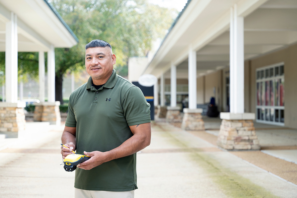
Roddy Nickey, director of land management and geographic information systems for the Mississippi Band of Choctaw Indians, uses GIS to manage the tribe's approximately 35,000 acres of land in Mississippi. (Photo by Beth Wynn)
An online training program established by MSU's Geosystems Research Institute in partnership with the U.S. Bureau of Indian Affairs has provided GIS training for more than 500 individuals in tribal communities, boosting skills in land management, environmental conservation, community development and more. The program was launched in 2023 to help the Bureau of Indian Affairs meet GIS training needs, building on previous outreach carried out by the university's research institute.
"The Mississippi State training partnership with the Branch of Geospatial Support has been extremely beneficial to the Bureau of Indian Affairs employees and Federally Recognized Tribes," said David Vogt, chief of the Bureau of Indian Affairs' Branch of Geospatial Support. "It allows us to have many more students in each class than we were previously able to provide and at a lower cost. This allows more BIA employees and particularly tribes to take trainings they wouldn't have had access to before."
The original story can be read in it's entirety from MSU's Newsroom.
By James Carskadon