
News at the HPC²
Hyperspectral Data: New Science to Save Islands
April 8, 2024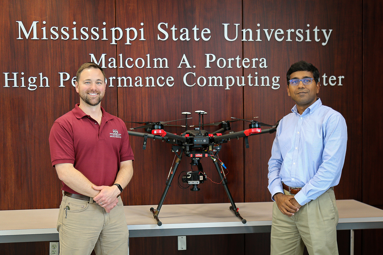
Daniel McCraine (right), Research Engineer with the Geosystems Research Institute, and Dr. Sathish Samiappan (left), Associate Research Professor with the Geosystems Research Institute. Photo by Sarah Miller.
The research team's work was recent published in Remote Sensing. By developing methods to accurately classify animal targets based solely on the wavelengths of light their coats reflect, even when their form is significantly obscured, this research aims to enable landscape-scale surveillance and management responses at a cost-effective level—a key tool for conservation and rewilding projects.
Read more at Island Conservation Hyperspectral Data: New Science to Save Islands - Island Conservation.