
News at the HPC²
Story Map Shows Hurricane Ida's Impact on Vulnerable Communities from Louisiana to New York
May 16, 2022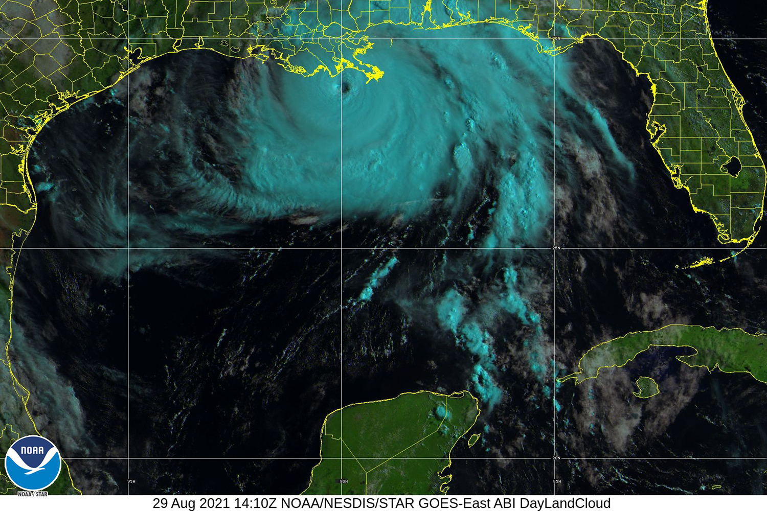
Photo submitted.
To raise awareness about this situation, the National Oceanic and Atmospheric Administration (NOAA) National Centers for Environmental Information (NCEI) and the Northern Gulf Institute (NGI) integrated multi-media with stories, maps and stats of the places and people affected by Hurricane Ida, the most destructive storm of the 2021 Atlantic hurricane season. These stories shed light on how low-income communities who were in this storm's path fared and why recovery for them is so challenging.
The story map is titled In Harm's Way: Hurricane Ida's Impact On Socially Vulnerable Communities and is available at https://storymaps.arcgis.com/stories/780e11bd19cc4dfca54ac8fb1d5e926f.
By Nilde Maggie Dannreuther at the Northern Gulf Institute, Mississippi State University.